
Mumbai rains:7 apps every Mumbaikar needs that can help navigate heavy rainfall
1/7
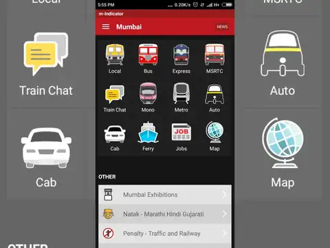
m-Indicator
When tracks flood and services go haywire, knowing exactly what is running becomes critical. m-Indicator offers live tracking of Mumbai's local trains, platform numbers and door positions at major stations like Borivali and Virar. It also covers BEST, NMMT and TMT bus routes, has a train chat for live delay updates, and many core features work without an internet connection.Available on Android and iOS.
2/7
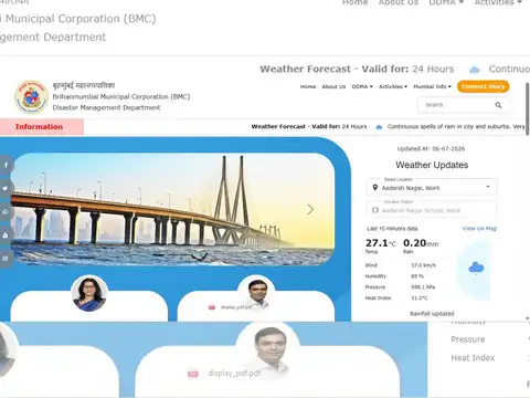
Disaster Management BMC
Developed by the Brihanmumbai Municipal Corporation, this is the most Mumbai-specific tool on this list. It sends push notifications for citizen alerts, covers vehicular diversions, train delays, and running status for BEST, Railways, Metro and Monorail. It also helps you locate the nearest police station, hospital, shelter, and flooding spots during an emergency.Available on Android and iOS.
3/7
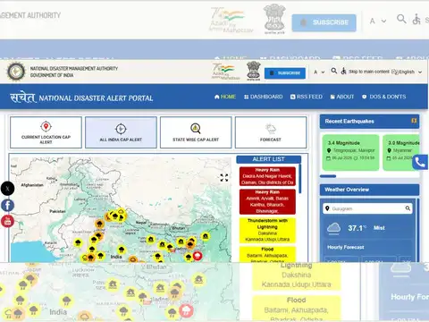
Sachet
Built by the National Disaster Management Authority, Sachet delivers geo-tagged early warnings for floods, cyclones and landslides using the Common Alerting Protocol for precise location-based alerts. Users can subscribe to specific states or districts, get daily IMD forecasts, and access emergency helpline numbers. Available in 12 Indian languages with a text-to-speech feature.Available on Android and iOS.
Amazon Top Deals
POWERED BY
4/7
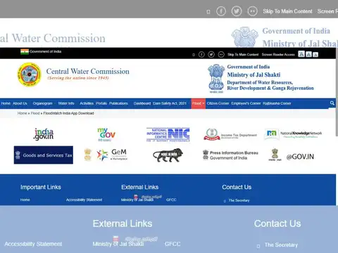
FloodWatch India
This is the official app of the Central Water Commission under the Ministry of Jal Shakti, and it focuses purely on flood data rather than general weather. It monitors 592 flood stations across the country, tracks 150 major reservoirs, and offers location-based flood forecasts up to seven days in advance using satellite data, mathematical modelling and real-time river flow monitoring.Available on Android and iOS.
5/7
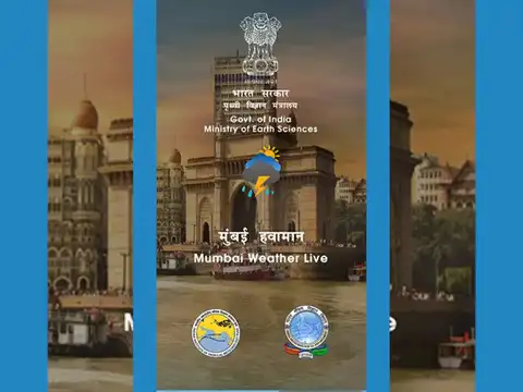
Mumbai Weather Live
A collaborative app by IITM and the Ministry of Earth Sciences, Mumbai Weather Live pulls together live rainfall data from IMD, BMC, Central and Western Railways, and Navi Mumbai Municipal Corporation. It covers 139 monitoring sites across the city and suburbs, and also shows radar-derived precipitation over a 150 km range, giving you a fuller picture than any single agency app.Available on Android and iOS. Web portal at mumbairain.tropmet.res.in
6/7
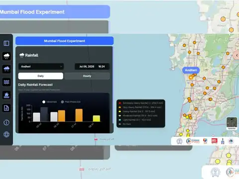
Mumbai Flood
Developed by IIT Bombay's Interdisciplinary Programme in Climate Studies with support from the HDFC-ERGO IIT Bombay Innovation Lab, this portal offers hourly rainfall predictions, live water-level data from flood-prone spots like the Mithi River, and crowdsourced flood reporting from citizens across the city. Particularly useful for granular, neighbourhood-level flood information that broader apps often miss.Available on Android. Web portal at mumbaiflood.in
7/7
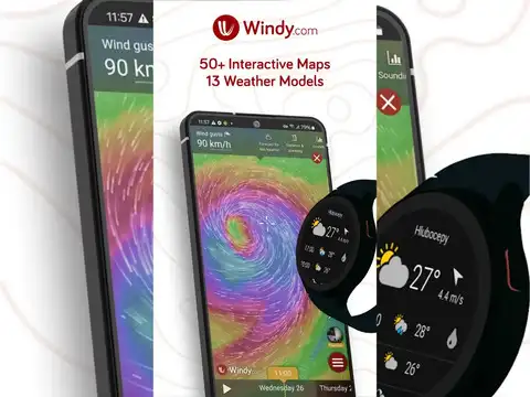
Windy
For those who want to see the rain coming before it hits their area, Windy is a globally trusted weather visualisation app. It shows animated rain, wind and temperature maps, covers a Doppler radar network across Asia, and pulls data from IMD among other national agencies. Rain accumulation data and thunderstorm tracking make it useful for planning commutes around the worst of the showers.Available on Android and iOS.
(Disclaimer: This is solely intended for informational purposes alone.)
(Disclaimer: This is solely intended for informational purposes alone.)