Maharashtra using drones, satellites to assess crop damage
Madhya Pradesh and Uttar Pradesh governments, too, are expected to soon start using lowcost drones to assess crop losses.

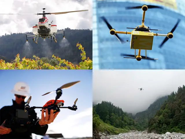
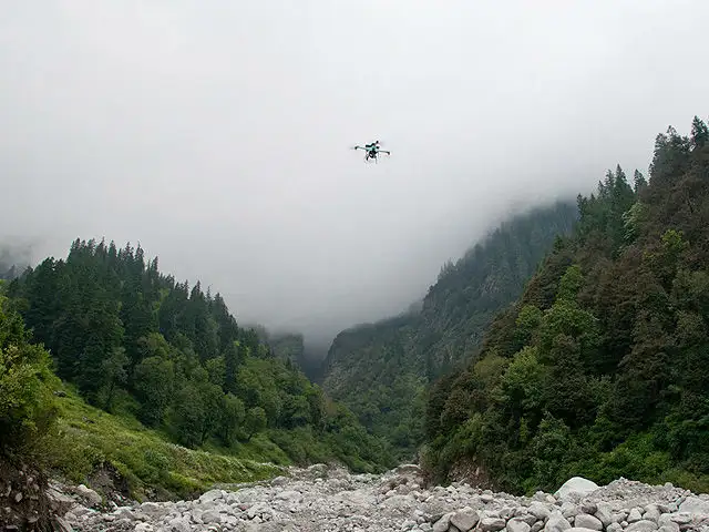
NEW DELHI/PUNE: There are drones flying over the fields in Marathwada region, assessing crop losses due to deficit rainfall, as the Maharashtra government turns to technology to ensure timely intervention and compensations for farmers in an area notorious for farmer suicides. Private weather forecaster Skymet is using drones, or unmanned aerial vehicles (UAVs), to map 51 villages of Marathwada under a pilot project of the BJP-led state government, officials said.
The state has also started cloud seeding on a pilot basis in the Marathwada region to create artificial rains.
Madhya Pradesh and Uttar Pradesh governments, too, are expected to soon start using lowcost drones to assess crop losses.
Confirming the use of drones, Maharashtra agriculture commissioner Vikas Deshmukh said, “The state government has decided to carry out pilot projects for assessing crop yields using different technologies from four different companies.“
Reinsurance giant Swiss Re and Climate Change for Agriculture, a not-for-profit organisation based in Delhi, are also participating in the project to assess 186 villages in the state, using drones and satellite imagery.
Maharashtra, the country's richest state, also accounts for the highest number of farmer suicides, with the worst-hit regions being Marathwada and Vidarbha. And this monsoon season, Marathwada is among the areas that received lowest rains with seasonal rainfall deficit of 44% as of Friday.
As per data provided by government officials, 6,000 hectares of agriculture land will be covered in the first phase of the project.
Skymet will use drones in Osmanabad rural, Bembli and Jagjee to assess the crop.
“We have asked Skymet to carry out their pilot during the kharif as well as the rabi season, for which we have identified the dominant crops in each circle.The objective of these studies is to get a technology that will help assess village level yields of crops,“ said Deshmukh.
Jatin Singh, CEO at Delhi-based Skymet Weather Services, said his team had started the project last week.
“Since Marathwada seems to be heading for a drought, the state government has come out with a project that involves using ANIRBAN drones to assess crop loss. The idea is to identify what each farmer has grown or what each and every farmer has lost,“ he said.
Singh also said that the Maharashtra government has promised plot-based settlement of insurance claims for farmers. “By next year, the government wants to cover 500 villages,“ he said.
Agri-product industries have their own systems of collecting data. But the production estimate by the governments is the main source of this data, which also influences the import and export decisions of the central government.
Crop-cutting exercise carried out by the state governments is the main method of measuring the expected crop output from the standing crop.
The arrival figures from the government-run APMCs (agricultural produce market committees) is also used to assess the likely production of most of the commodities.
The state has also started cloud seeding on a pilot basis in the Marathwada region to create artificial rains.
Madhya Pradesh and Uttar Pradesh governments, too, are expected to soon start using lowcost drones to assess crop losses.
Confirming the use of drones, Maharashtra agriculture commissioner Vikas Deshmukh said, “The state government has decided to carry out pilot projects for assessing crop yields using different technologies from four different companies.“
Reinsurance giant Swiss Re and Climate Change for Agriculture, a not-for-profit organisation based in Delhi, are also participating in the project to assess 186 villages in the state, using drones and satellite imagery.
Maharashtra, the country's richest state, also accounts for the highest number of farmer suicides, with the worst-hit regions being Marathwada and Vidarbha. And this monsoon season, Marathwada is among the areas that received lowest rains with seasonal rainfall deficit of 44% as of Friday.
ADVERTISEMENT
As per data provided by government officials, 6,000 hectares of agriculture land will be covered in the first phase of the project.
Skymet will use drones in Osmanabad rural, Bembli and Jagjee to assess the crop.
“We have asked Skymet to carry out their pilot during the kharif as well as the rabi season, for which we have identified the dominant crops in each circle.The objective of these studies is to get a technology that will help assess village level yields of crops,“ said Deshmukh.
Jatin Singh, CEO at Delhi-based Skymet Weather Services, said his team had started the project last week.
ADVERTISEMENT
“Since Marathwada seems to be heading for a drought, the state government has come out with a project that involves using ANIRBAN drones to assess crop loss. The idea is to identify what each farmer has grown or what each and every farmer has lost,“ he said.
Singh also said that the Maharashtra government has promised plot-based settlement of insurance claims for farmers. “By next year, the government wants to cover 500 villages,“ he said.
ADVERTISEMENT
Agri-product industries have their own systems of collecting data. But the production estimate by the governments is the main source of this data, which also influences the import and export decisions of the central government.
Crop-cutting exercise carried out by the state governments is the main method of measuring the expected crop output from the standing crop.
The arrival figures from the government-run APMCs (agricultural produce market committees) is also used to assess the likely production of most of the commodities.
Download
The Economic Times Business News App for the Latest News in Business, Sensex, Stock Market Updates & More.
The Economic Times Business News App for the Latest News in Business, Sensex, Stock Market Updates & More.
Download
The Economic Times News App for Quarterly Results, Latest News in ITR, Business, Share Market, Live Sensex News & More.
The Economic Times News App for Quarterly Results, Latest News in ITR, Business, Share Market, Live Sensex News & More.
Related Articles
 Maharashtra advises farmers to do fodder planning to avoid a potential shortage due to El Nino2026-06-17T14:36:34Z
- 'No abusive language, this is how it's used in Maharashtra': Sanjay Raut amid row over his remarks against rebel UBT MPs2026-06-17T08:19:25Z
- 'Reason why MPs don't want to be with them': Maharashtra Minister Shirsat slams Sanjay Raut's abusive remarks2026-06-17T07:25:25Z
Text: AP
Most people think of drones as instruments of warfare, but as the Federal Aviation Administration slowly opens US airspace to commercial use of unmanned aircraft, they are going to become more commonplace.
The first uses are likely to be in remote, sparsely populated areas. Some of the proposed commercial applications for drones include:

ADVERTISEMENT

